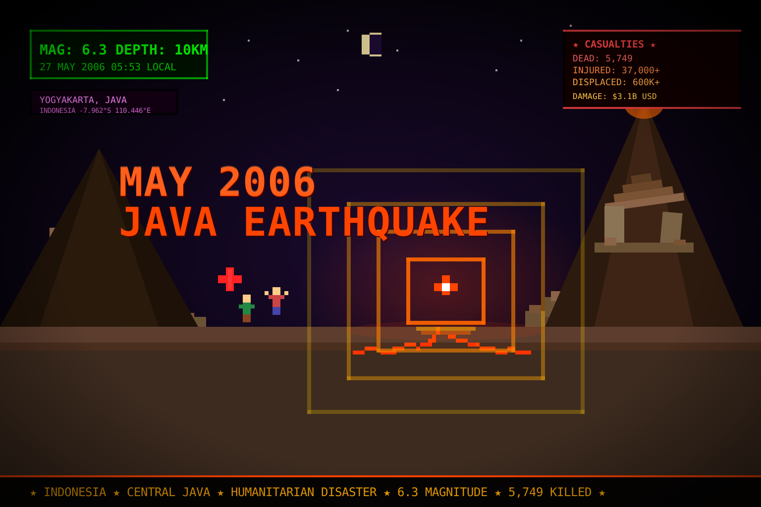
May 2006 Java Earthquake
Category: History & Politics
Key figures: President Susilo Bambang Yudhoyono (Indonesian government response), Sri Sultan Hamengkubuwono X (Governor of Yogyakarta, on-the-ground coordination), UN Office for the Coordination of Humanitarian Affairs (OCHA), International Federation of Red Cross and Red Crescent Societies (IFRC)
Summary
At 5:53 AM local time (22:53 UTC, May 26) on Saturday, May 27, 2006, a magnitude 6.3 earthquake struck 23 kilometres south-southwest of Yogyakarta, Central Java, Indonesia, at a shallow depth of approximately 10 kilometres. The shallow focal depth amplified surface shaking, causing destruction disproportionate to the quake’s moderate magnitude. The tremor lasted approximately 57 seconds and was followed by hundreds of aftershocks — the strongest, a magnitude 5.9, struck two days later on May 29.
The earthquake killed at least 5,749 people (Indonesian government final count), injured more than 37,000, and left approximately 600,000–700,000 displaced from homes that were destroyed or rendered uninhabitable. Economic losses were estimated at $3.1 billion USD by the World Bank. The disaster struck during the predawn hours when most residents were asleep, dramatically increasing casualties: buildings — many of them unreinforced masonry or traditional joglo timber-frame structures — collapsed before occupants could evacuate.
Geography and Fault Context
Yogyakarta Province sits on the southern flank of Java’s volcanic arc, one of the world’s most seismically active zones. The Indonesian archipelago lies at the convergence of three major tectonic plates: the Eurasian Plate, the Indo-Australian Plate, and the Pacific Plate. Subduction of the Indo-Australian Plate beneath Eurasia generates both volcanic activity (the active Mount Merapi stratovolcano, approximately 30 km north of central Yogyakarta) and frequent shallow-focus earthquakes.
The May 27 quake’s epicentre was located in Bantul Regency, the most densely populated rural district south of Yogyakarta city. Bantul bore the worst casualties, with over 4,000 of the total deaths occurring within its boundaries. The quake was associated with movement on a local fault near the southern coast of Java, distinct from the main subduction zone that caused the December 2004 Indian Ocean earthquake and tsunami.
Damage and Casualties
Bantul Regency suffered catastrophic destruction: an estimated 80% of structures in some sub-districts collapsed. Villages of closely spaced, low-quality masonry homes — common across rural Java — offered minimal resistance to the shaking.
Yogyakarta city (population ~430,000 in 2006) sustained significant damage to older colonial-era buildings, hospitals, and schools. The historic Kraton (royal palace) and surrounding heritage districts suffered structural damage.
Klaten Regency (Central Java Province) experienced severe damage immediately east of Yogyakarta, with hundreds of additional fatalities.
Prambanan temple complex: The UNESCO World Heritage Site comprising 9th-century Hindu temples — including the Prambanan main compound and satellite temples — sustained structural damage. Several minor temple spires collapsed. The larger Prambanan main temples, built of interlocking stone, remained standing though cracked. Borobudur, the 8th-century Buddhist monument approximately 40 km northwest of Yogyakarta in Magelang Regency (Central Java), sustained minor damage and was quickly assessed as structurally sound.
Humanitarian Response
The Indonesian government declared a national disaster and deployed the Indonesian National Armed Forces (TNI) and National Disaster Management Agency (BNPB). President Yudhoyono visited affected areas within 24 hours and pledged full government resources; the government eventually allocated approximately $1.1 billion in reconstruction funding.
International response was rapid:
- Australia pledged AUD 16 million and deployed military logistics assets
- Japan provided $6 million in emergency aid and sent Japan Disaster Relief teams
- United States contributed $3 million through USAID and deployed military helicopters for search and rescue
- Malaysia, Singapore, and Thailand provided immediate bilateral assistance
- United Nations: OCHA activated emergency coordination; UNICEF focused on child protection and water/sanitation; WHO deployed medical teams to address crush-injury treatment and disease prevention
Field hospitals were established within days. A key public-health concern was tetanus infection among crush-injury survivors, prompting mass vaccination campaigns by WHO and Indonesian health authorities. Diarrhoeal disease outbreaks were controlled through emergency water-purification distributions.
The acute emergency phase lasted approximately two weeks; reconstruction extended across several years, with some households remaining in temporary shelters through 2008.
Timing and Context
The May 2006 earthquake occurred just 17 months after the December 26, 2004, Indian Ocean earthquake and tsunami, which had killed more than 165,000 Indonesians — primarily in Aceh Province, Sumatra. Indonesia’s disaster management institutions were still absorbing the scale of 2004 reconstruction when the 2006 Java earthquake struck. Additionally, Mount Merapi — only 30 kilometres north of Yogyakarta — was in an active eruptive phase at the time of the earthquake, requiring simultaneous volcano monitoring and evacuation preparedness in communities already displaced by the earthquake.
The coincidence of the earthquake and Merapi’s activity created a rare dual-hazard emergency that tested Indonesian emergency management capacity and received significant international media coverage.
Policy Legacy
The 2006 Java earthquake accelerated reform of Indonesian disaster governance. The National Disaster Management Act (Law No. 24 of 2007) — enacted April 26, 2007 — formalised the BNPB’s authority, established provincial and district-level disaster management boards (BPBD), and mandated disaster risk reduction integration into spatial planning. The law is widely credited to lessons learned from both the 2004 tsunami and the 2006 Java earthquake.
Reconstruction in Bantul Regency introduced pondasi beton (reinforced concrete foundations) as a standard for government-subsidised housing, replacing the unreinforced masonry that had been ubiquitous. Community-based reconstruction programs, supported by NGOs and the World Bank, trained local builders in earthquake-resistant techniques — a model subsequently applied after the 2009 West Sumatra earthquakes and the 2018 Lombok earthquakes.
Significance
The May 2006 Java earthquake was one of 2006’s most consequential humanitarian crises and a defining event in Indonesia’s disaster governance history. It exposed the lethal vulnerability of dense rural Java to shallow-focus moderate earthquakes, prompted landmark disaster management legislation, and demonstrated both the strengths and limits of international humanitarian coordination in a middle-income country. The event is a touchstone in global seismic risk literature for the high death toll produced by a sub-7.0 magnitude event, attributable primarily to poor building quality rather than earthquake intensity.
Related
- 2006 Lebanon War — another major 2006 humanitarian crisis unfolding in the same period
- Darfur Genocide Crisis — concurrent 2006 international humanitarian emergency
- East Timor Violence and Australian Intervention — neighbouring Southeast Asian crisis, also May 2006
Sources
- Wikipedia: 2006 Java earthquake
- USGS Earthquake Hazards Program: M 6.3 Java, Indonesia — May 26, 2006
- United Nations OCHA: Java Earthquake — Situation Reports, May–June 2006
- World Bank: Java Reconstruction Fund — Post-Disaster Needs Assessment 2006
- Government of Indonesia / BNPB: National Disaster Management Act No. 24/2007