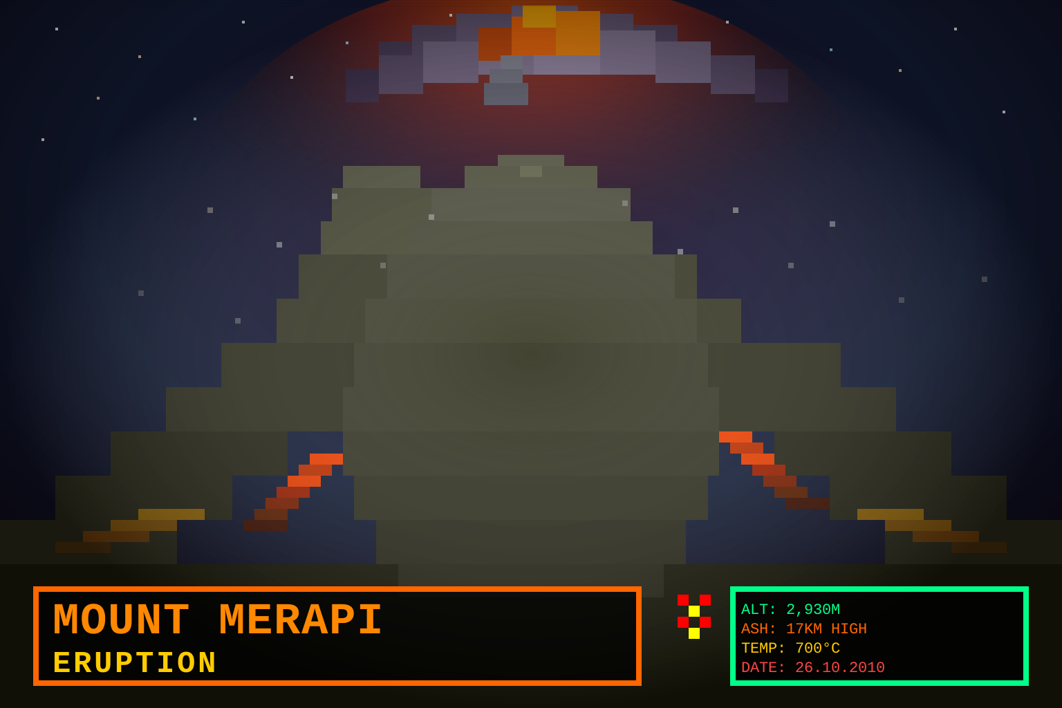
Mount Merapi Eruption
Category: Geology / Natural Disasters
Key figures: Indonesian National Disaster Management Authority (BNPB), Sutopo Purwo Nugroho (BNPB spokesperson), Mbah Maridjan (Merapi’s “juru kunci” / volcano guardian), Sultan of Yogyakarta Hamengkubuwono X
Summary
Mount Merapi — whose name means “Mountain of Fire” in Javanese — is a 2,930-meter stratovolcano located 28 kilometers north of Yogyakarta, Indonesia’s second-largest city and a center of Javanese cultural heritage. One of the world’s most active volcanoes, Merapi sits at the intersection of two tectonic subduction zones: the Indo-Australian Plate subducting beneath the Eurasian Plate, producing a volcanic arc that includes Krakatoa (west) and Tambora (east). On October 26, 2010, at 18:00 local time (11:00 UTC), a major eruption began with a series of phreatic and magmatic explosions, ejecting ash to 17 kilometers altitude and generating pyroclastic flows — fast-moving torrents of hot gas, ash, and rock fragments — that descended Merapi’s southern and southwestern slopes at speeds exceeding 100 km/h and at temperatures of 300–700°C.
The October 26 eruption was followed by the largest single explosive event on November 5, 2010, when a massive dome-collapse generated pyroclastic flows that reached 15 kilometers from the summit — the farthest recorded in Merapi’s modern eruptive history. The total eruptive cycle (October 26 – November 2010, with minor activity continuing into 2011) killed at least 346 people, with some estimates counting disease-related deaths into 2011 putting the total at approximately 362. Over 1 million people were evacuated from a 20-kilometer danger zone around the summit, the largest evacuation in Merapi’s history.
Geological Context
Merapi has erupted repeatedly throughout recorded history. Key prior events:
- 1006 CE: A major eruption is thought to have driven the abandonment of the Hindu-Buddhist Mataram Kingdom’s political center, though the historical record is incomplete.
- 1872: One of the largest historic eruptions, sending pyroclastic flows 7+ kilometers from the summit.
- 1930: The deadliest pre-2010 modern eruption, killing approximately 1,300 people and destroying 13 villages.
- 1994: A pyroclastic flow killed 43 people and prompted expansion of the exclusion zone.
- 2006: A moderate eruption preceded the May 27 Yogyakarta earthquake (5.9 Mw, ~5,700 deaths), raising questions about tectonic-volcanic coupling in the region.
The 2010 eruption was the largest since 1872 and the deadliest since 1930. Geologically, it was driven by a rapid intrusion of high-viscosity magma into the shallow magma chamber beneath the summit dome, producing explosive fragmentation rather than the effusive lava flows more typical of Merapi’s “normal” eruptive style.
The Juru Kunci: Mbah Maridjan
Among the most noted deaths was that of Mbah Maridjan (born ~1927), the traditional Javanese “juru kunci” (key-keeper or guardian) of Mount Merapi appointed by the Sultan of Yogyakarta to maintain spiritual relations between the volcano and the surrounding communities. Maridjan, already famous for defying evacuation orders during the 2006 eruption while continuing his ritual duties at his home on Merapi’s slope, again refused to evacuate in October 2010. He was found dead in a position of prayer (sujud) in his home in Kinahrejo village, together with more than 20 others who had gathered at his residence. His death, widely reported in Indonesian media, encapsulated the tension between traditional belief systems — which hold Merapi as a sacred presence requiring human guardianship — and modern disaster-risk management protocols.
Evacuation and Humanitarian Response
Indonesia’s National Disaster Management Authority (BNPB) issued the highest alert level (Level IV: “Awas” — Beware) on October 25, 2010, one day before the major eruption, triggering mandatory evacuation of all residents within a 10-kilometer radius. As eruption intensity increased through late October and the November 5 event, the exclusion zone was expanded to 20 kilometers. By November 5, more than 350,000 people had been displaced to evacuation shelters in Sleman, Boyolali, Magelang, and Klaten regencies. At peak displacement, over 1 million people were registered as evacuees, accommodated in schools, government buildings, and informal camps.
The evacuation was complicated by:
- Population density: More than 1.7 million people live within the high-hazard zone around Merapi, one of the world’s most densely settled volcano flanks.
- Livestock and livelihood dependency: Many villagers owned cattle and agricultural plots on Merapi’s fertile slopes; reluctance to abandon livestock contributed to fatalities in the outermost communities.
- Successive waves: The eruption’s multi-week duration required extended displacement, with psychological and economic costs that the initial emergency framework was not designed to manage.
The Indonesian Red Cross (Palang Merah Indonesia), government agencies, and international NGOs provided food, clean water, and health services at evacuation camps. The total economic cost — including agricultural losses (Merapi’s slopes are prime coffee, salak, and vegetable farming land), infrastructure damage, and emergency response — was estimated at $600 million–$1 billion USD.
Scientific Monitoring and the Merapi Volcanic Observatory
The 2010 eruption validated and stress-tested Indonesia’s Merapi monitoring network. The Balai Penyelidikan dan Pengembangan Teknologi Kebencanaan Geologi (BPPTKG, Merapi Volcanic Disaster Mitigation Research Center) operated a network of seismometers, GPS deformation sensors, tiltmeters, and visual cameras that provided real-time data during the eruption sequence. Alert levels were raised in stages: Level II (Waspada) on October 20, Level III (Siaga) on October 21, and Level IV on October 25 — all before the first major explosions, enabling the evacuation that saved many thousands of lives.
Post-eruption, BPPTKG expanded the monitoring network, adding additional GPS stations, SO₂ flux sensors (which measure gas emissions correlated with magma ascent rates), and drone-based thermal imaging. A 2012 partnership with the Japan International Cooperation Agency (JICA) and the U.S. Geological Survey (USGS) Volcano Disaster Assistance Program brought additional instrumentation and capacity-building support. These improvements contributed to a successful and rapid evacuation in 2014, when a smaller but well-monitored eruption sequence caused no fatalities.
Significance
Mount Merapi’s 2010 eruption marked a watershed moment for volcanic-hazard management in Indonesia and globally:
- It demonstrated that pre-eruption evacuations, enabled by continuous monitoring and tiered alert systems, could prevent far greater casualties than would otherwise occur from an eruption of this scale.
- It exposed the limits of mandatory evacuation enforcement in culturally and economically complex settings — particularly the challenges of persuading high-risk residents to leave when livelihoods, beliefs, and social bonds are rooted in the hazard zone.
- The eruption contributed data to global volcanic ash dispersion models used in aviation safety, as ash plumes disrupted flights across Java and temporarily forced closure of Adisucipto International Airport in Yogyakarta.
- Indonesia’s response — imperfect but faster and more institutionally coordinated than the 1994 or 2006 events — drew international recognition and contributed to the development of ASEAN’s regional disaster-risk management frameworks.
Related
- Haitian cholera epidemic — Simultaneous 2010 humanitarian crisis showing how pre-existing infrastructure vulnerability compounds disaster
- Pakistan Floods — 2010’s other massive South/Southeast Asian natural-disaster crisis
- 2010 Chile Earthquake — Contemporaneous megathrust disaster in the Southern Hemisphere, also testing national disaster-management systems
Sources
- Wikipedia: 2010 eruptions of Mount Merapi (en.wikipedia.org/wiki/2010_eruptions_of_Mount_Merapi)
- Wikipedia: Mount Merapi (en.wikipedia.org/wiki/Mount_Merapi)
- Britannica: 2010 Mount Merapi Eruption (britannica.com)
- USGS Volcano Hazards Program: Merapi (volcanoes.usgs.gov/volcanoes/merapi/)
- ReliefWeb: Indonesia — Mount Merapi Eruption Situation Reports (reliefweb.int)
- Surono et al. “The 2010 explosive eruption of Java’s Merapi volcano — a ‘100-year’ event.” Journal of Volcanology and Geothermal Research 241–242 (2012): 121–135. doi:10.1016/j.jvolgeores.2012.06.018
- BNPB (Indonesian National Disaster Management Authority): Laporan Situasi Merapi 2010 (bnpb.go.id)